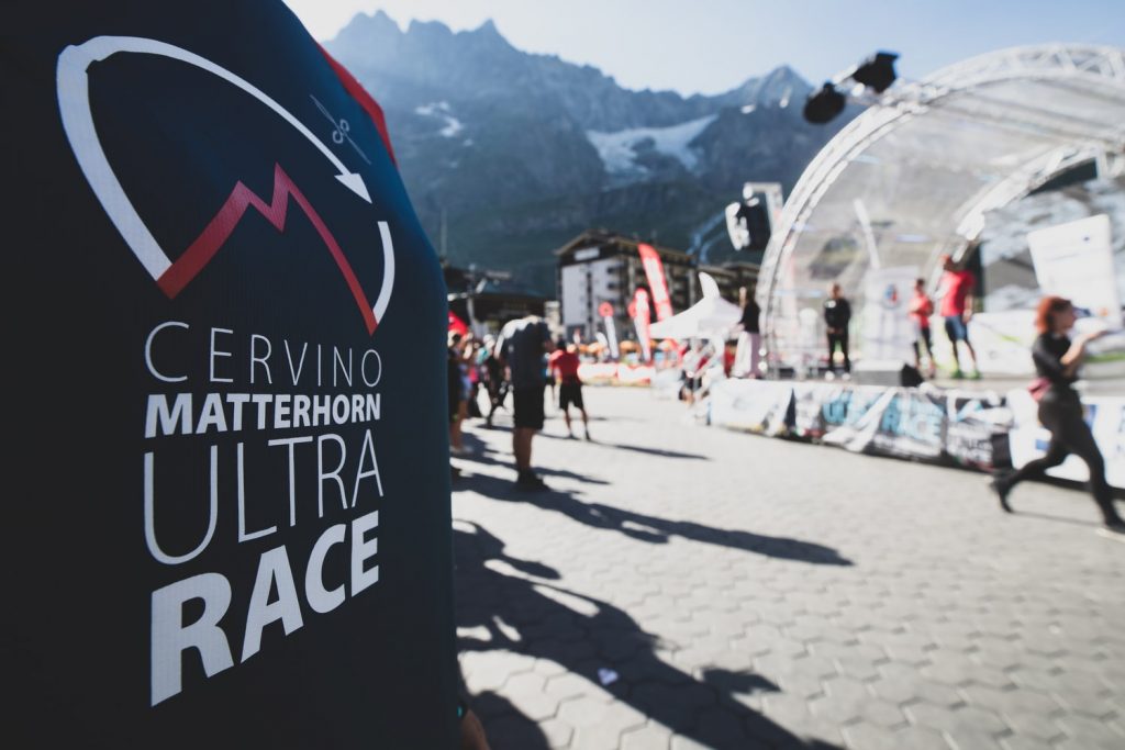
Cervino Matterhorn Ultra Race Fifth Edition 26-28 June 2026
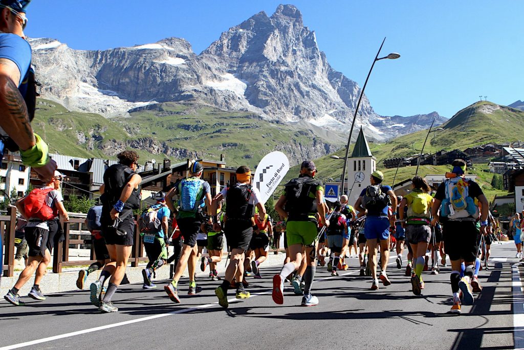

The Matterhorn Matterhorn Ultra Race (CMUR) is an event with trail running and vertical races of different distances that embrace the Matterhorn, the ‘noblest rock in the Alps’, from different angles. All races are above an altitude of 1900 m.
The races are suitable for all types of runners, as they range from the 15 km of the shortest trail, which offers a view of the Italian side of the Matterhorn, to the 70 km, exciting race in pairs, whose route, along trails and glaciers, winds around the Matterhorn with breathtaking views, at different times, of the four faces of the mythical mountain.
Follow our adventures on Cervino Ski Paradise social media
Stay updated with our latest news
Sign up for the newsletter
P.IVA 00041720079 - REA Aosta:23540
Capitale Sociale: Deliberato € 54.600.546.00
Sottoscritto e versato € 54.600.546,00
©Cervino S.p.A - 2026